
About the service
UAV mapping involves using drones to capture aerial images and data of construction sites. This technology enhances project planning, monitoring, and management by providing high-resolution maps, 3D models, and real-time progress updates, ultimately improving efficiency, accuracy, and safety in construction projects.
Why choose us
Neque porro quisquam est, qui dolorem ipsum quia dolor sit amet. Nemo enim ipsam voluptatem quia voluptas sit aspernatur aut odit aut fugit, sed quia conseuntur magni.
Expertise
Our goal is zero incidents and our lost time frequency rate is industry leading.
Collaboration
Our multi-skilled team provides innovative, forward-thinking solutions.
Creativity
We work with both investors and developers to create landmarks that make an impact.
Client-Centric Focus
We maintain this by ensuring transparency and professional conduct in every aspect.
Services offered
-
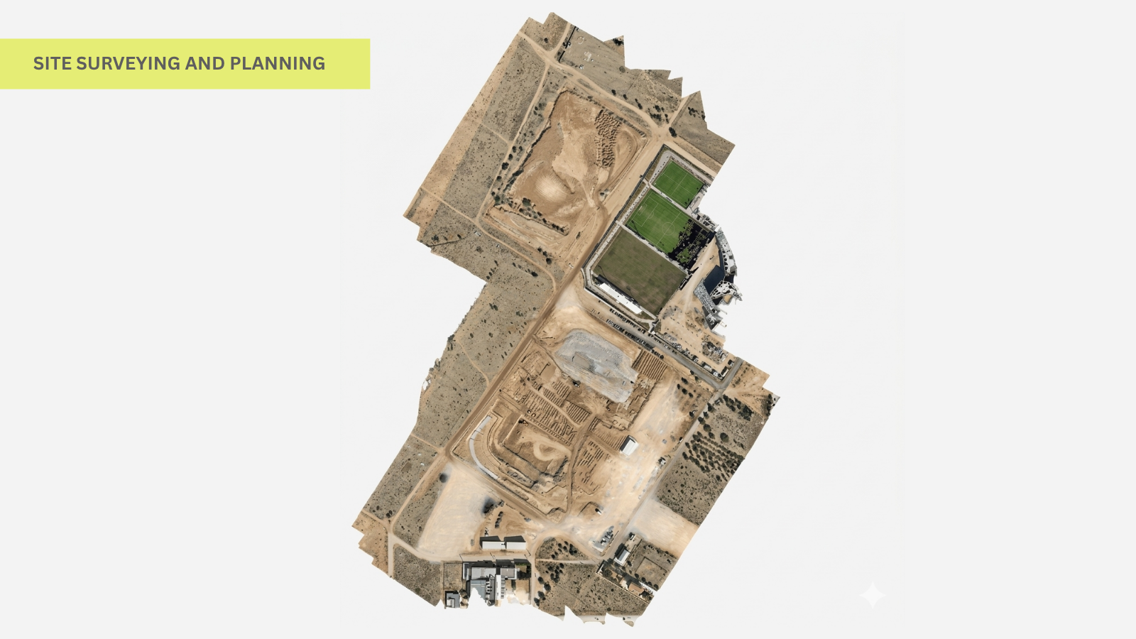
Site Surveying and Planning:
Applications:- Topographic Mapping: Create detailed 2D and 3D maps of the terrain to understand site conditions before construction begins.
- Boundary Surveys: Establish clear property lines and boundaries.
- Volumetric Calculations:Measure stockpiles volumes and earthworks accurately
Benefits:- Reduces the time and cost compared to traditional surveying methods.
- Provides precise data for better decision-making and project planning.
- Enhances accuracy in volume estimation, reducing material costs.
-
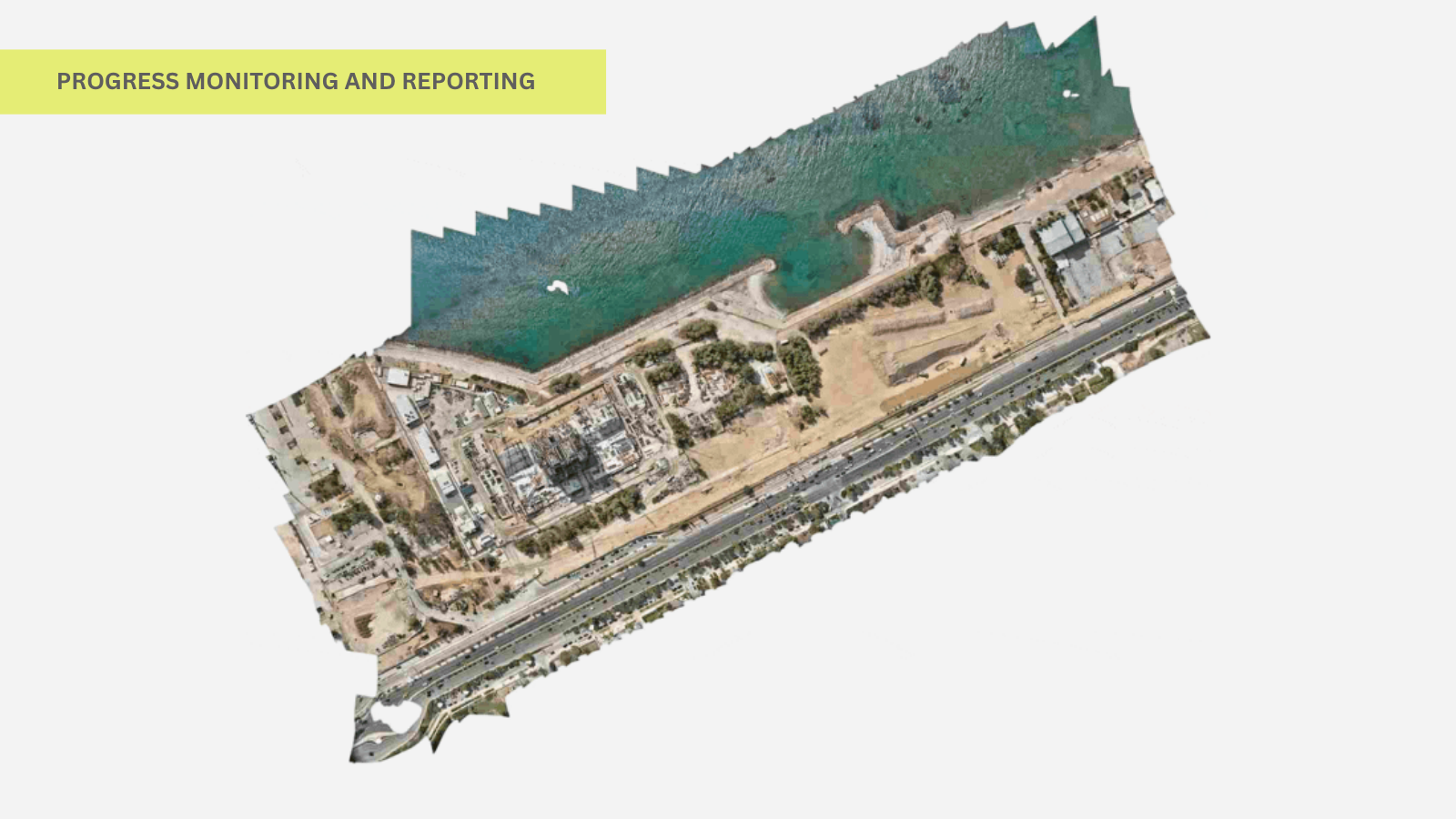
Progress Monitoring and Reporting:
Applications:- Progress Photos: Regularly capture aerial images to document the
construction progress. - 3D Models and Orthomosaics: Generate up-to-date models and maps to
visualize project status. - Inspection Reports:Identify potential issues early through detailed
visual inspections.
Benefits:- Facilitates real-time monitoring and quick decision-making.
- Improves communication with stakeholders by providing visual
progress reports. - Enhances project transparency and accountability.
- Progress Photos: Regularly capture aerial images to document the
-
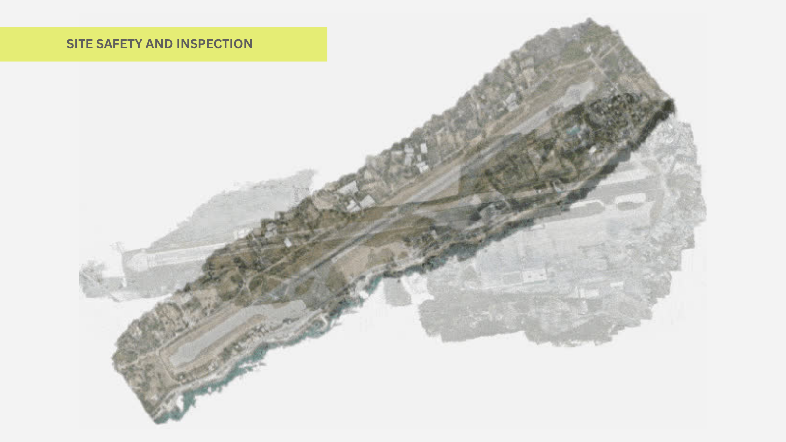
Site Safety and Inspection:
Applications:- Hazard Identification: Spot potential safety hazards from an aerial perspective.
- Inspection of Hard-to-Reach Areas: Assess structural integrity in high
or dangerouslocations without putting workers at risk. - Thermal Imaging: Detect heat leaks, electrical issues, and other anomalies.
Benefits:- Enhances worker safety by minimizing the need for manual inspections
in hazardous areas. - Reduces inspection time and increases the frequency of safety checks.
- EIdentifies and mitigates risks promptly.
Popular questions
What the first step of the home buying process?
Nemo enim ipsam voluptatem quia voluptas sit aspernatur aut odit aut fugit, sed quia consequuntur magni dolores eos qui ratione voluptatem sequi nesciunt.
How long does it take to buy a home?
Nemo enim ipsam voluptatem quia voluptas sit aspernatur aut odit aut fugit, sed quia consequuntur magni dolores eos qui ratione voluptatem sequi nesciunt.
What is a seller’s market?
Nemo enim ipsam voluptatem quia voluptas sit aspernatur aut odit aut fugit, sed quia consequuntur magni dolores eos qui ratione voluptatem sequi nesciunt.
What kind of credit score do I need to buy a home?
Nemo enim ipsam voluptatem quia voluptas sit aspernatur aut odit aut fugit, sed quia consequuntur magni dolores eos qui ratione voluptatem sequi nesciunt.
How much do I need for a down payment?
Nemo enim ipsam voluptatem quia voluptas sit aspernatur aut odit aut fugit, sed quia consequuntur magni dolores eos qui ratione voluptatem sequi nesciunt.